CREATING SHAPEFILE AND STUDY AREA MAP FOR ANY LOCATION |BEGINNERS COURSE USING QGIS
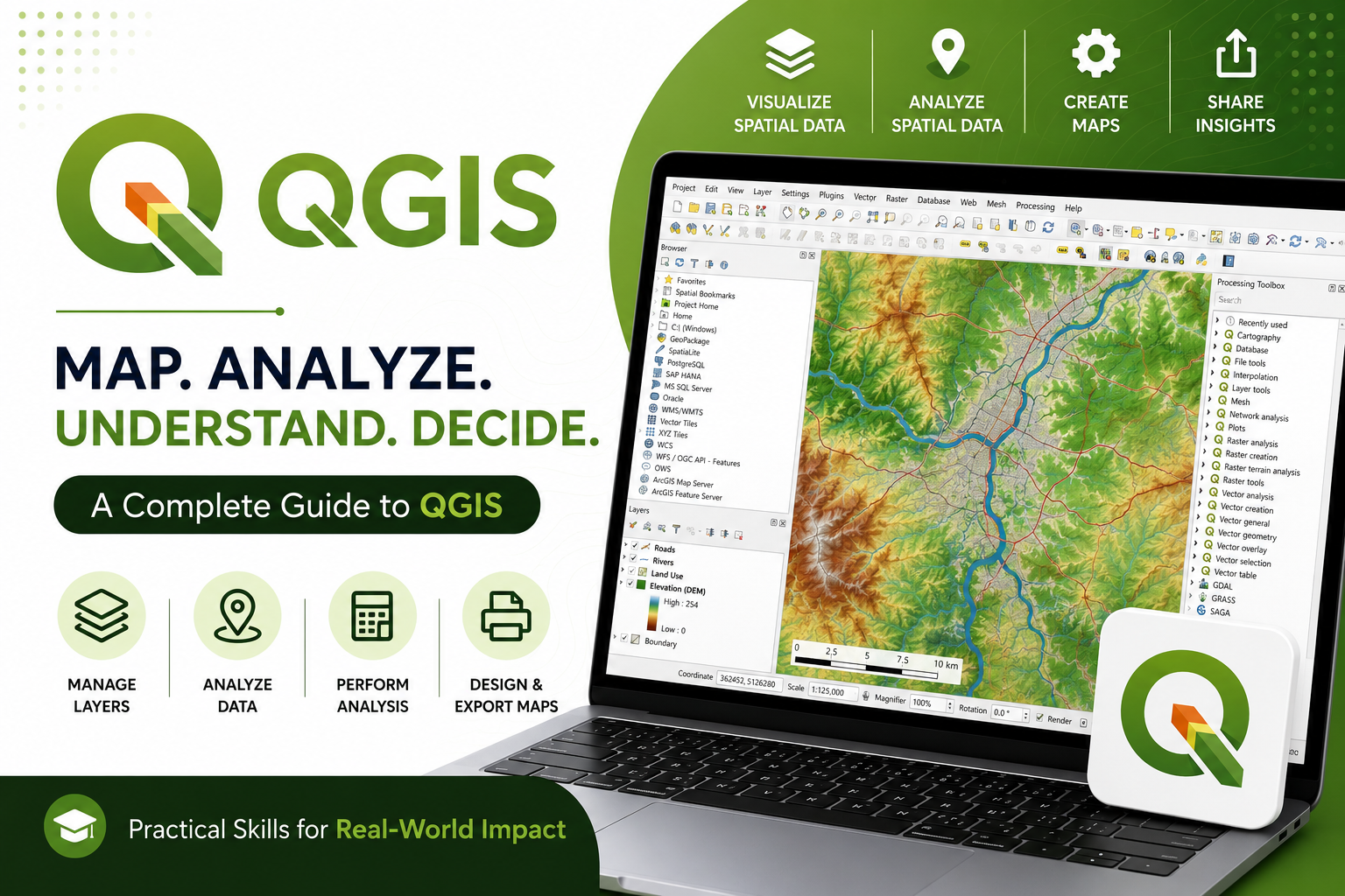
About Course
Course Overview
Raw spatial data is only as good as your ability to analyze and present it. If you are collecting location coordinates using mobile data collection tools, simply looking at rows of latitudes and longitudes in a spreadsheet isn’t enough to drive real decisions.
This intermediate-level course bridges the gap between field data collection and professional geographic information systems (GIS). You will learn step-by-step how to extract geographic coordinates (GPS points, lines, or polygons) directly from ODK (Open Data Kit) or KoboToolbox and transform them into dynamic, presentation-ready maps using QGIS.
-
Data Export Optimization: How to properly structure and export spatial data formats from ODK and KoboToolbox without losing critical metadata.
-
QGIS Environment Setup: Importing CSV or GeoJSON coordinate data into QGIS and handling coordinate reference systems (CRS) to avoid mapping errors.
-
Data Cleaning & Wrangling: Fixing broken geometry, handling missing GPS points, and preparing your attribute tables for mapping.
-
Advanced Mapping Techniques: Creating heatmaps, point clusters, and thematic maps to highlight geographic trends, gaps, and distributions.
-
Layout & Reporting: Designing and exporting professional, high-quality map layouts suitable for technical reports, presentations, and stakeholder reviews.
Student Ratings & Reviews